The Largest Curatorial Library
With Regions

ZS Switzerland map

ZS Switzerland map

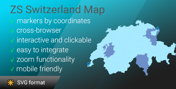
ZS Switzerland map is a most detailed svg Switzerland map! This map contains a lot of islands, limits are neats and very detailed! In this version you have possibility to easely set markers with information you will see at infobox (as on google maps or mapbox). regions also have possibility to display infobox. The interactive template of the Switzerland map gives you an easy way to install and customize a professional looking interactive map with all regions. If you need to show only one region you can easely disable all another paths (remove them manually or with one line of code) and select map center and initial zoom.
ZSmap of Canada

ZSmap of Canada

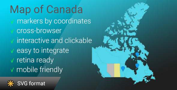
Interactive clickable and responsive map of Canada with possibility of adding markers using coordinates (lat/lng). This map runs with javascript (jQuery) based on Scalable Vector Graphics (SVG), So it can be scaled to any size without losing its quality. The interactive template of the map of Canada gives you an easy way to install and customize a professional looking interactive map with 13 clickable regions. In this version of map you have possibility to easely set markers with information you will see at infobox. Regions also have possibility to display infobox. Also this map is a most detailed svg map of Canada in a world! This map contains a lot of islands, limits are neats and very detailed

Map of Netherlands

Map of Netherlands

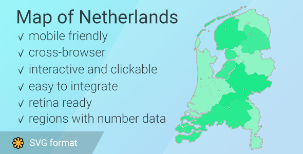
Interactive clickable and responsive map of Netherlands with provinces popup on hover. This map runs with javascript (jQuery) based on Scalable Vector Graphics (SVG), So it can be scaled to any size without losing its quality. The interactive template of the map of Netherlands gives you an easy way to install and customize a professional looking interactive map with 12 clickable provinces with their capitals (+8 union territories). You can embed the map in your website and link each province/city to any webpage or make hover popup with information. In this version of map you have possibility to put number to any province and it will change color depends of number (the most big number will make province saturated, the most little – dim)