🥇

User Login Register and User Management
High Resolution: No, Compatible Browsers: IE8, IE9, IE10, IE11, Firefox, Safari, Opera, Chrome, Software Version: MySQL 5.x
Created Nov 28, 2014 · Updated Mar 19, 2026 · ★ 4.83 (48) · 562 sales
🥇
User Login Register and User Management
High Resolution: No, Compatible Browsers: IE8, IE9, IE10, IE11, Firefox, Safari, Opera, Chrome, Software Version: MySQL 5.x
Created Nov 28, 2014 · Updated Mar 19, 2026 · ★ 4.83 (48) · 562 sales
🥈

Leaflet OpenStreetMap, Multi-Purpose server side markers clustering php script v1.4
Server side markers clustering based on Leaflet and OpenStreetMaps. Allow to place on your Map up to 100 000 markers. Developed on pure PHP and MySQL.
Created Jun 13, 2018 · Updated Mar 10, 2021 · ★ 5.00 (8) · 101 sales
🥉

Google Maps Multi-Purpose server side Markers clustering script v3.1
High Resolution: Yes, Compatible Browsers: IE8, IE9, IE10, IE11, Firefox, Safari, Opera, Chrome, Software Version: PHP 8.x, PHP 7.x, MySQL 5.x
Created Oct 1, 2014 · Updated Mar 6, 2025 · ★ 4.14 (37) · 474 sales
#4
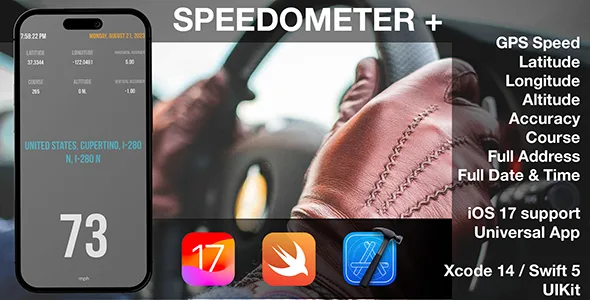
Speed Location for iOS
Speed is a drop-dead simple speedometer for iPhone that uses the location data from the GPS to provide a near-accurate representation of how fast you’re actually traveling.
Created Dec 25, 2025
#5

Google Geocomplete
This plugin generates an autocomplet from an input field, so that you can retrieve an address and its associated geodata from Google and fill it into input fields.
Created Jul 7, 2018 · ★ 5.00 (3) · 64 sales
#6

Google Maps Store Locator
Google Maps Store Locator is a feature rich module that allows merchants to display their physical store locations on home page and a separate store locator page.
Created Mar 3, 2021 · 5 sales
#7

SpeedTrip Pro App for iOS - Swift Based, Full Source Code
The ultimate travel companion designed to provide precision, clarity, and adaptability for every journey. Whether you’re on a casual drive or an extensive road trip, our app ensures you have the most accurate and real-time information at your fingertips.
Created Sep 28, 2023 · 1 sale
#8

SEO Geo Location Tag
Geotagging is the process of adding geographical identification metadata to various media such as a geotagged shop and is a form of geospatial metadata. Geotagging can help users find a wide variety of location-specific information from a device. Geotagging can tell users the location of the content of a given picture or other media or the point of view, and conversely on some media platforms show media relevant to a given location. For instance, someone can find images taken near a given location by entering latitude and longitude coordinates into a suitable image search engine. Geotagging-enabled information services can also potentially be used to find location-based product, news, or other resources. Such techniques can be used together with geotagging to provide alternative search techniques. Geotagging has become a popular feature on several social media platforms, such as Facebook and Instagram.
Created May 3, 2018 · 1 sale
#9

ZS World Map
ZS World map is a most detailed svg world map! This map contains a lot of islands, limits are neats and very detailed! In this version you have possibility to easely set markers with information you will see at infobox (as on google maps or mapbox). Countries also have possibility to display infobox. The interactive template of the world map gives you an easy way to install and customize a professional looking interactive map with all countries. If you need to show only one country you can easely disable all another paths (remove them manually or with one line of code) and select map center and initial zoom.
Created Feb 16, 2021 · Updated Apr 12, 2021 · ★ 0.00 (2) · 7 sales